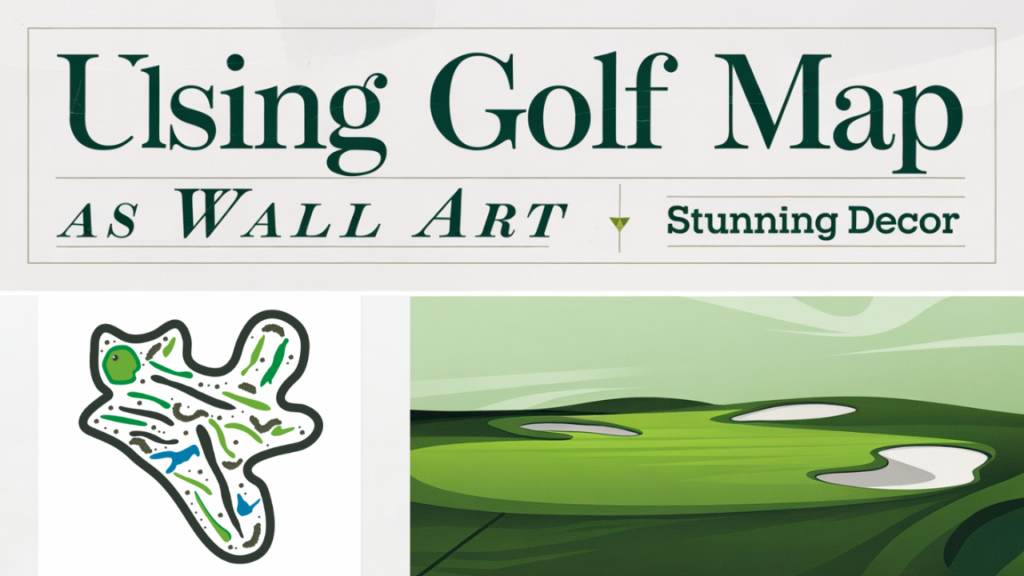
Mapping a golf course is important for designing layouts, tracking performance, and making visuals for players, developers, or artists. This guide will help you create a golf course map for personal use, management, or professional printing.
Why Map a Golf Course?
Mapping a golf course offers several benefits:
- Design and Layout: Helps architects and planners design or change the course.
- Player Advantage: Helps players understand hazards, distances, and hole layouts clearly.
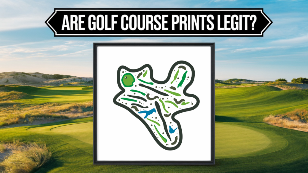
- Artistic Representation: Makes attractive golf course prints for decoration or keepsakes.
Gather Essential Tools
Before you start mapping, ensure you have the right tools:
- GPS Device or App: For accurate measurements and location data.
- Drone or Satellite Imagery: For capturing aerial views of the course.
- Mapping Software: Tools like Google Earth, ArcGIS, or specialized golf course mapping software.
- Measuring Tools: Rangefinders or digital measuring apps for detailed distance calculations.
Collect Course Data
Aerial Survey
Use a drone or satellite images to show the course layout. Clear images will help you see important features like fairways, greens, bunkers, water hazards, and trees.
On-Site Measurements
Walk the course to take precise measurements of:
- Tee box and green locations.
- Distance between holes.
- Width of fairways and hazards.
Note Terrain Features
Record changes in elevation, slopes, and natural landmarks. These affect gameplay and the map’s accuracy.
Create the Base Map
Use Mapping Software
Upload your aerial images or GPS data to mapping software. Tools like Google Earth let you mark points, measure distances, and add notes.
Highlight Key Areas
Clearly identify and mark:
- Tee boxes.
- Fairways.
- Greens.
- Bunkers.
- Water hazards.
- Out-of-bounds areas.
Add Measurements and Details
Yardages
Measure and mark the distance from each tee box to the green. Add markers for key yardages like 100, 150, and 200 yards.
Hazards
Identify hazards like bunkers, water, and rough terrain. Use notes to warn players about major challenges.
Visual Details
Use color codes or shading to differentiate fairways, roughs, and hazards. For example:
- Green for fairways and greens.
- Blue for water hazards.
- Brown/Yellow for bunkers.
Refine the Map
Test for Accuracy
Check the map against the real course. Fix any mistakes in distances or locations.
Add a Legend
Include a legend to explain symbols, colors, and annotations for easy interpretation.
Make it Player-Friendly
Make the map easy to read for all players, even those who don’t know the course. Keep details simple but accurate.
Share or Print the Map
Digital Use
You can export the map as a PDF or PNG. Use it on websites, apps, or digital scorecards.
Physical Prints
If you’re making art or maps for players, think about printing them on good materials like canvas or fine art paper.
Tips for Mapping a Golf Course
- Use Technology: GPS and drones offer unparalleled accuracy and efficiency.
- Focus on Playability: Highlight areas that players need to focus on, like hazards and yardages.
- Work with Professionals: For detailed and artistic maps, collaborate with professional cartographers or designers.
Conclusion
Mapping a golf course is a mix of technical skills and creativity that improves the golfing experience. Whether you are making a helpful guide for players or a stunning artwork, accurate mapping helps you show the true nature of the course. With the right tools, data, and focus on details, you can create a high-quality map that highlights what makes each golf course special.
Shop high quality golf course map prints


